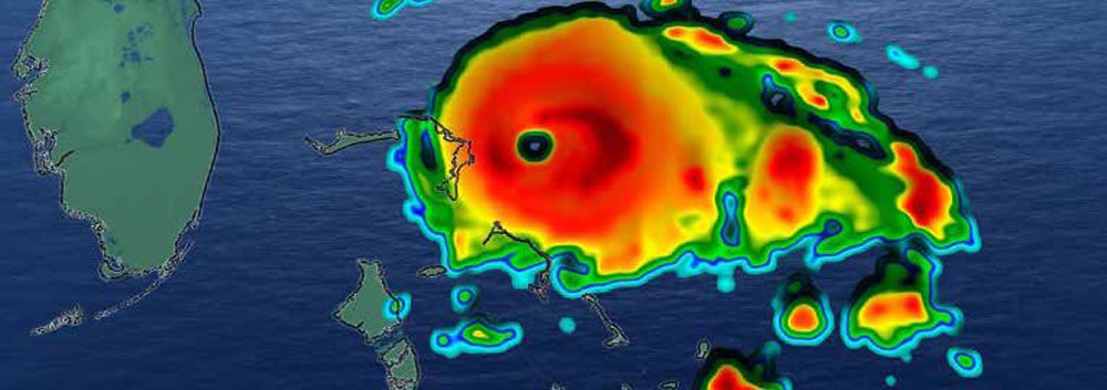
Impacts of storm surge from tropical events can be far-reaching and catastrophic along the United States Atlantic and Gulf of Mexico coastlines.
Q-risq Analytics utilizes proprietary winds and atmospheric pressure forecasts to drive the Advanced CIRCulation (ADCIRC) storm surge model, accurately predicting when, where, and to what extent flooding will inundate coastal communities with greater precision than other models. This enables property owners and decision makers to identify risk and plan for mitigation and response before the storm occurs.
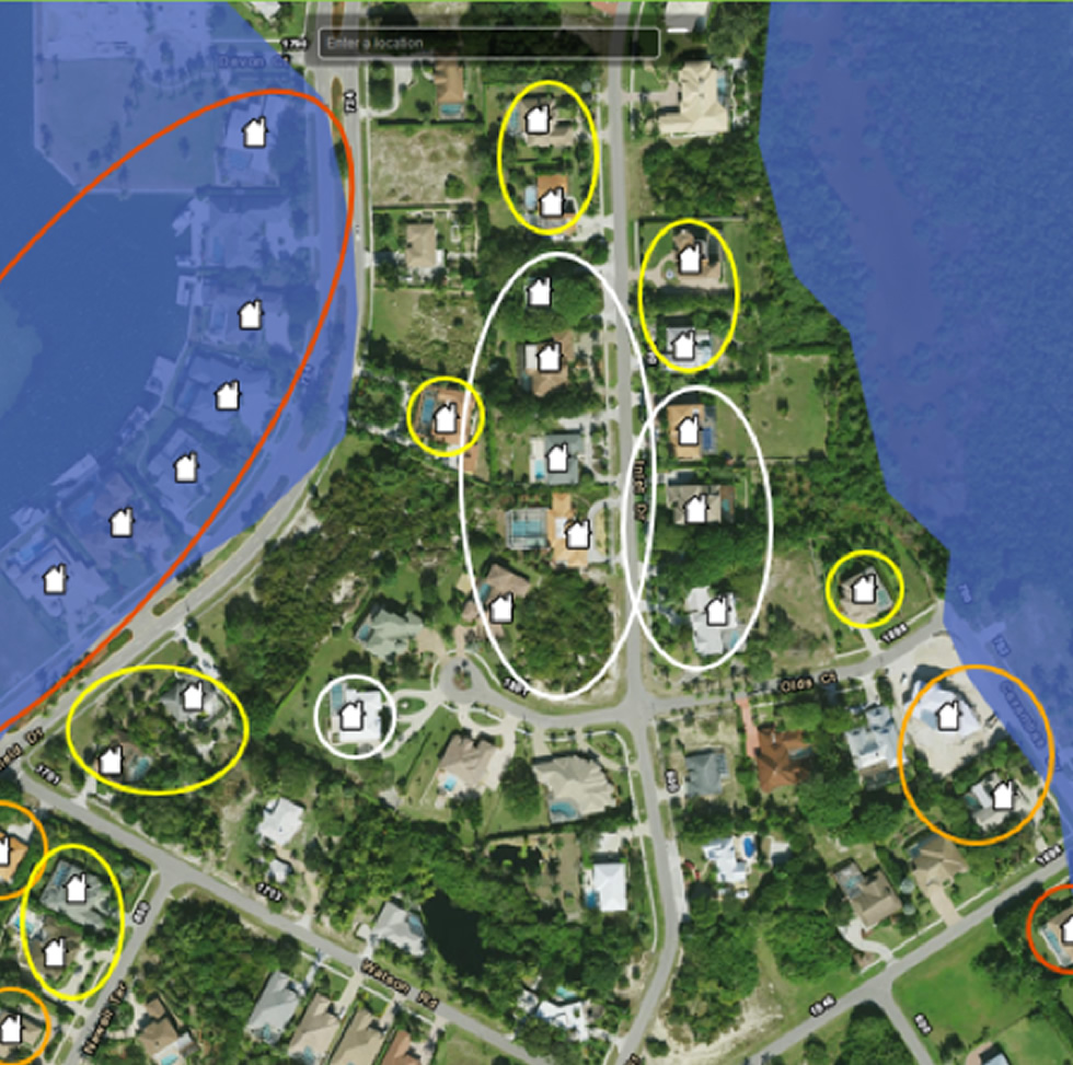
When received in advance, each address is geocoded with a precise latitude and longitude, entered into our secure client database, and digitally represented on our map viewer.
Properties can be close to each other but assigned different risk levels; our proprietary Storm Surge and Wind Forecasting Model results are layered over high precision ground elevations. Simply put, properties that sit higher will not be as affected by a given amount of water.
With each National Hurricane Center advisory update, every address is reassessed to determine individual risk based on its forecasted flood depth and maximum wind speed.
Ensemble forecasting provides for different storm track scenarios. Once processed against geocoded properties, exposure is assessed, and property owners are alerted to potential dangers.


